Lars Lang · 19 October 2026
Leveraging Algorithmic Adjustments for Precision in Climate Model Inputs from Varied Sensor Arrays
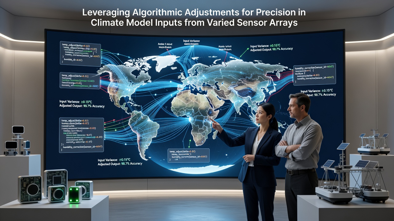
Climate modeling relies on inputs drawn from sensor arrays that span satellites, ground stations, ocean buoys and airborne instruments, each capturing distinct variables at different resolutions and frequencies. Researchers integrate these streams through algorithmic adjustments that correct for calibration drift, spatial misalignment and temporal gaps before the data enters global circulation models. Data from the European Space Agency shows that multi-sensor fusion pipelines now process over 15 terabytes daily from polar-orbiting platforms alone, and adjustments applied at the ingestion stage improve temperature anomaly detection by measurable margins in validation runs.
Core Components of Sensor Array Integration
Varied sensor arrays operate under constraints that include differing sampling rates, instrument noise profiles and environmental exposure effects, so algorithmic layers first normalize units and apply bias corrections derived from overlapping observation periods. Engineers calibrate satellite radiometers against buoy thermistors during collocation events, then embed those offsets into machine learning filters that update dynamically as new cross-validation points arrive. Observers note that this approach reduces systematic errors in sea surface temperature records, particularly when arrays span both coastal and open-ocean zones where thermal gradients shift rapidly.
Ground-based networks contribute high-frequency surface flux measurements while satellites supply broad spatial coverage, yet the two datasets rarely align perfectly in time or location. Adjustment algorithms therefore interpolate missing values using ensemble methods that weigh proximity, measurement uncertainty and historical covariance structures, and these techniques have been documented in reports from the Australian Bureau of Meteorology as yielding consistent improvements in regional reanalysis products.
Algorithmic Techniques for Precision Enhancement
Modern pipelines employ Kalman filtering variants and neural network emulators to refine raw readings before they reach climate models, allowing the system to account for sensor degradation over multi-year deployments. When a microwave sounder on one satellite exhibits channel drift, the algorithm cross-references it with infrared measurements from a second platform and applies a corrective scalar that preserves physical consistency across wavelengths. Studies conducted at institutions in Canada indicate that such dynamic recalibration lowers root-mean-square errors in upper-tropospheric humidity fields by several percentage points compared with static correction tables.
Additional layers handle spatial resampling through adaptive grid mapping, converting point observations into model-compatible fields while preserving gradients near fronts and orographic features. Researchers apply variational data assimilation frameworks that minimize a cost function balancing observation departures against background model states, and these frameworks now incorporate uncertainty estimates from each sensor type so that noisier inputs exert proportionally less influence on the final analysis.

Developments Observed Through October 2026
By October 2026 several operational centers had expanded real-time adjustment routines to include newly launched hyperspectral instruments, allowing finer vertical resolution in atmospheric profiles. Integration tests performed that month demonstrated that combining data from the Sentinel-5P successor mission with existing buoy networks tightened constraints on aerosol optical depth estimates, which in turn refined shortwave radiation calculations within coupled ocean-atmosphere models. Progress reports from the World Meteorological Organization highlight that latency between observation and adjusted product delivery dropped below four hours for select variables, supporting more frequent model initialization cycles.
Parallel efforts addressed legacy sensor records by reprocessing entire archives with updated algorithmic suites, and preliminary comparisons released in late 2026 showed improved agreement between independent temperature datasets spanning 1990 to 2025. These reanalyses feed directly into attribution studies that quantify anthropogenic contributions to observed trends, and the refined inputs have been adopted by modeling groups preparing for the next Intergovernmental Panel on Climate Change assessment cycle.
Practical Applications Across Regions
Regional forecasting centers apply the same adjustment principles at smaller scales, for instance correcting wind profiler data from mountainous terrain before it enters boundary-layer schemes. In agricultural zones across the southern hemisphere, adjusted soil moisture estimates from combined satellite and in-situ arrays now support irrigation scheduling tools that respond to sub-weekly variability. Government agencies in New Zealand have documented how these refined inputs enhance drought monitoring indices, while similar workflows in Nordic countries improve sea-ice thickness projections used for shipping route planning.
Energy sector modelers likewise incorporate adjusted radiation and temperature fields to refine renewable output forecasts, and the resulting gains in day-ahead accuracy have been quantified in industry technical exchanges. The underlying algorithms remain modular, allowing operators to swap sensor-specific correction modules without retraining the entire pipeline, which supports rapid incorporation of next-generation instruments as they come online.
Conclusion
Algorithmic adjustments applied to inputs from varied sensor arrays continue to narrow the gap between raw observations and the precision required by contemporary climate models, with documented gains appearing across multiple validation metrics and geographic domains. Continued refinement of these techniques, supported by expanding observation networks and computational resources, sustains incremental advances in model fidelity that benefit both scientific research and operational decision-making frameworks worldwide.